Flows
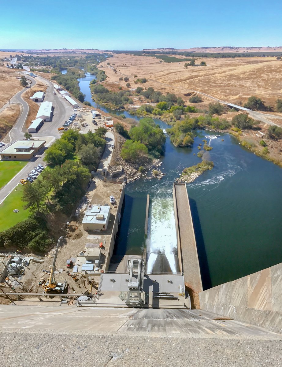
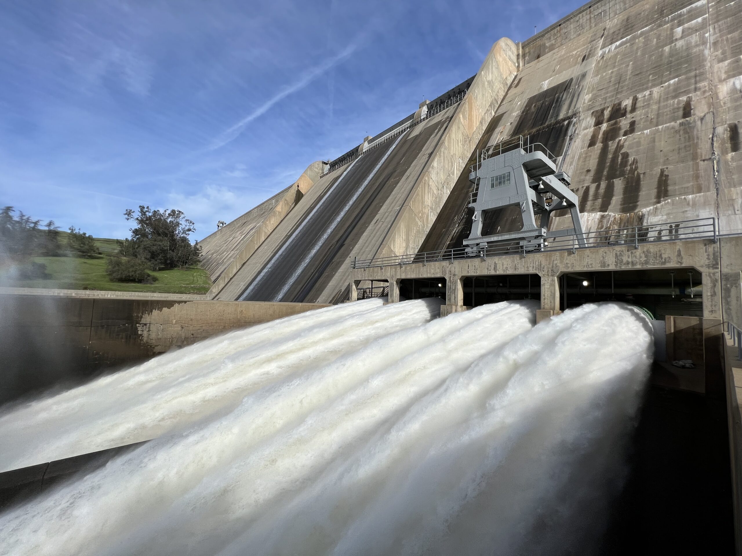
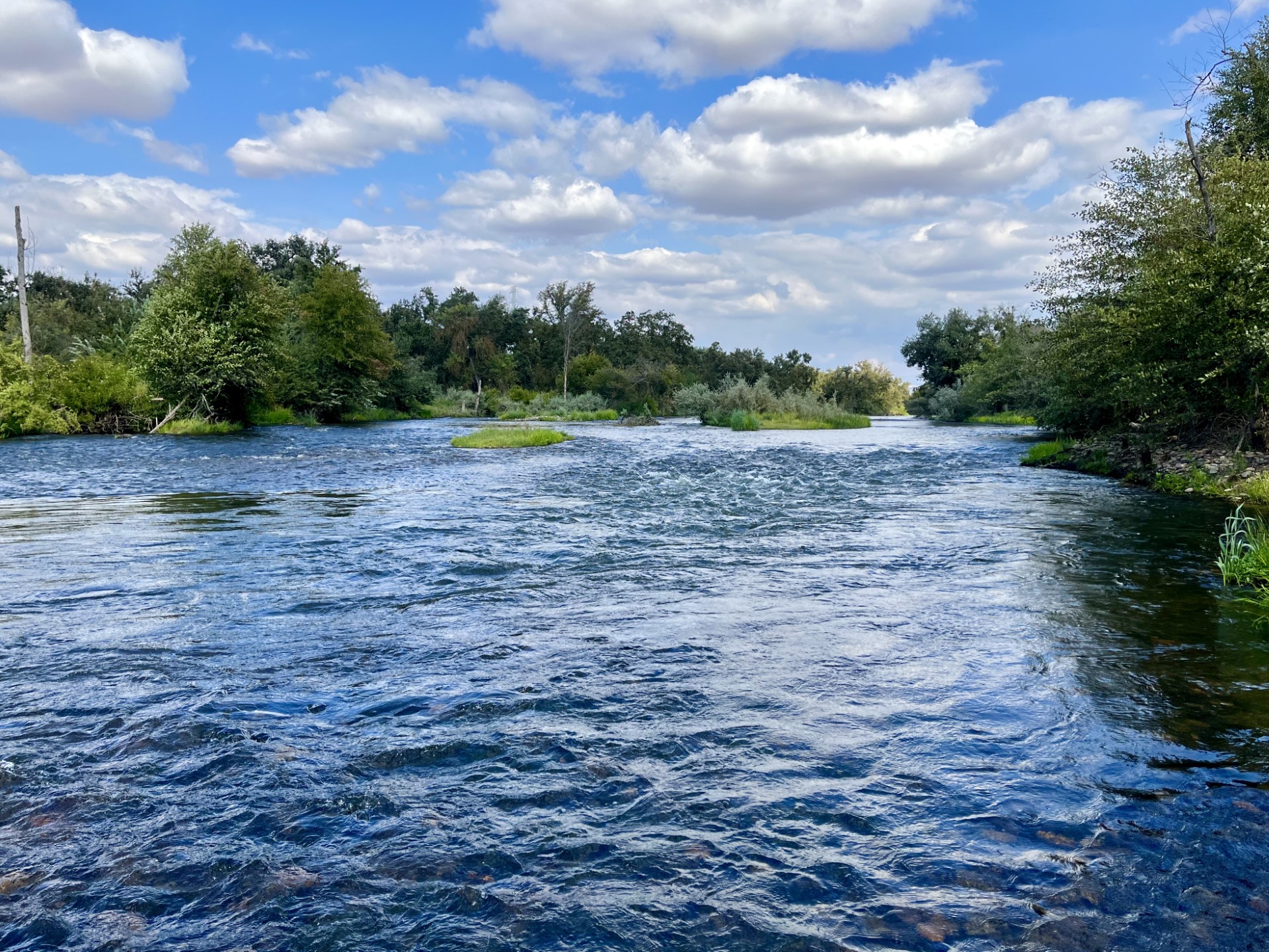
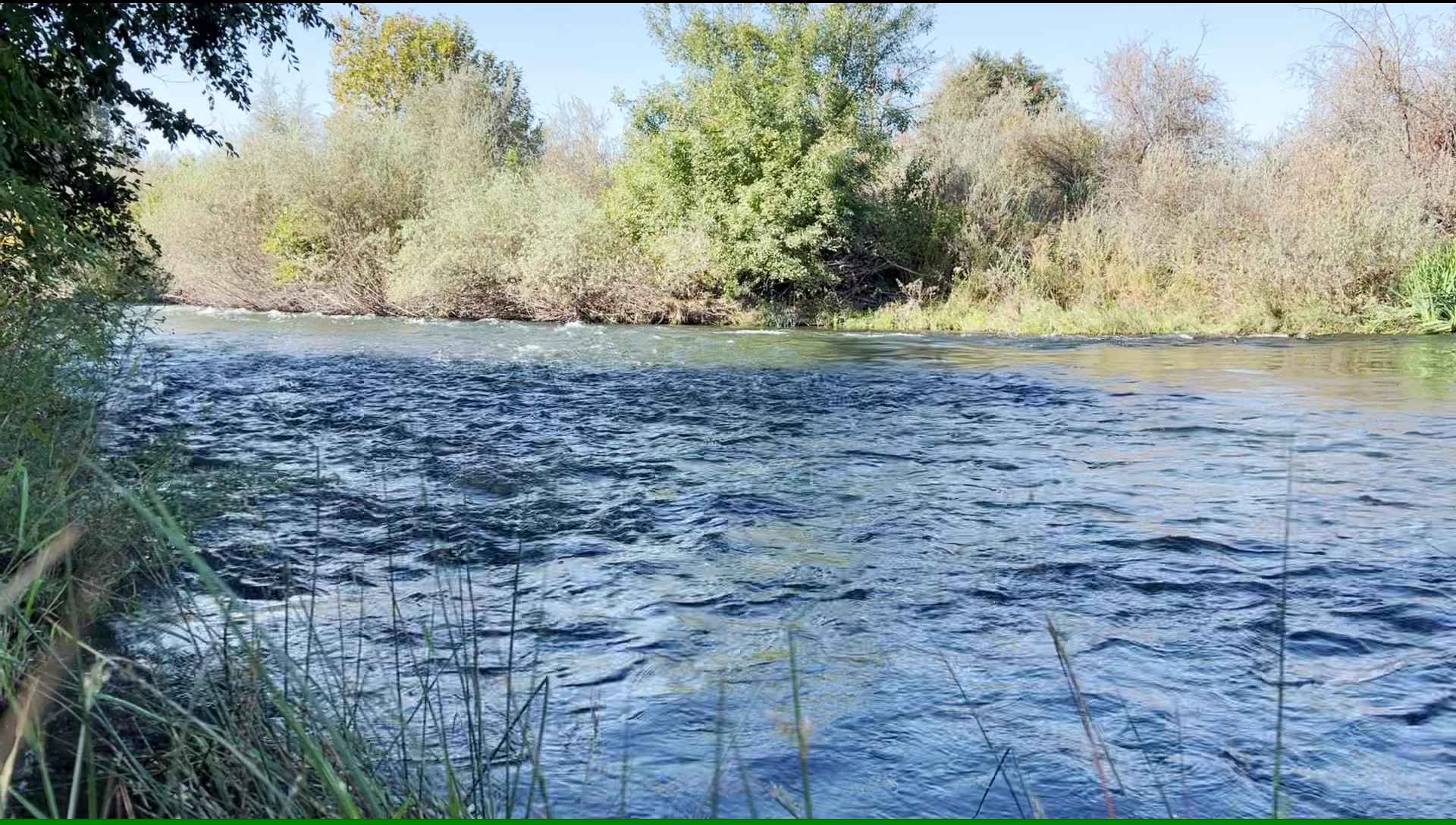
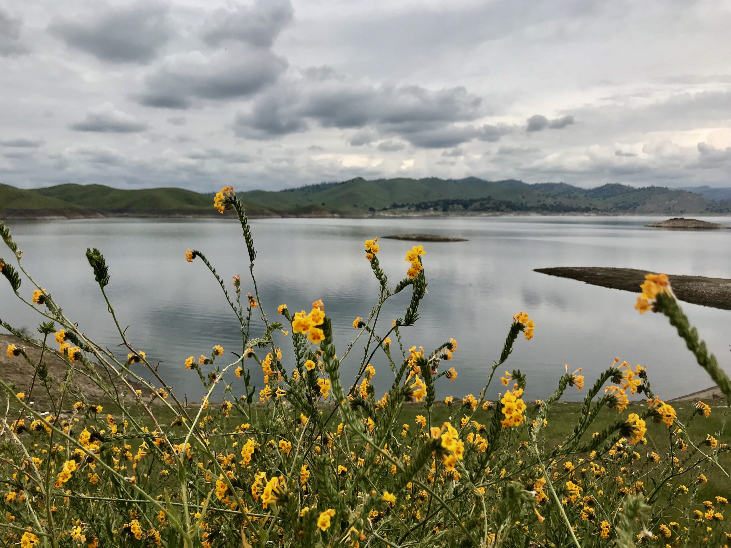
As with any river, flows are paramount to the health of that river. The San Joaquin River Restoration Program closely monitors all aspects of flows within the river between the releases at Friant Dam, down to the confluence of the Merced River by using in-stream monitoring gauges and close coordination with dam operators, water diverters and other entities involved with river operations.
The amount of water available for the SJRRP, the Restoration Allocation, depends upon the amount of runoff in the San Joaquin River watershed above Friant Dam and is guided by a default hydrograph based on six water years. The hydrograph:
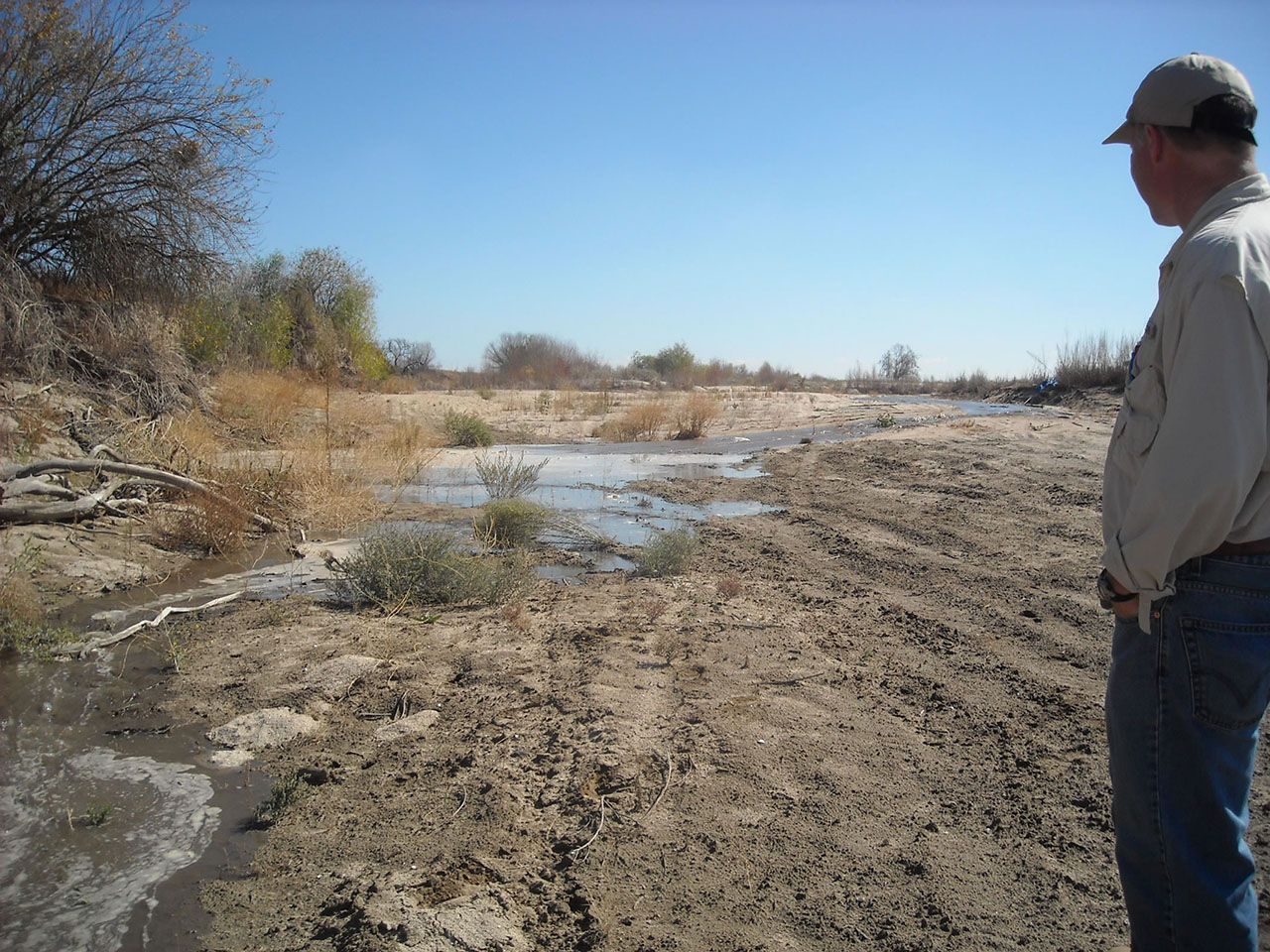
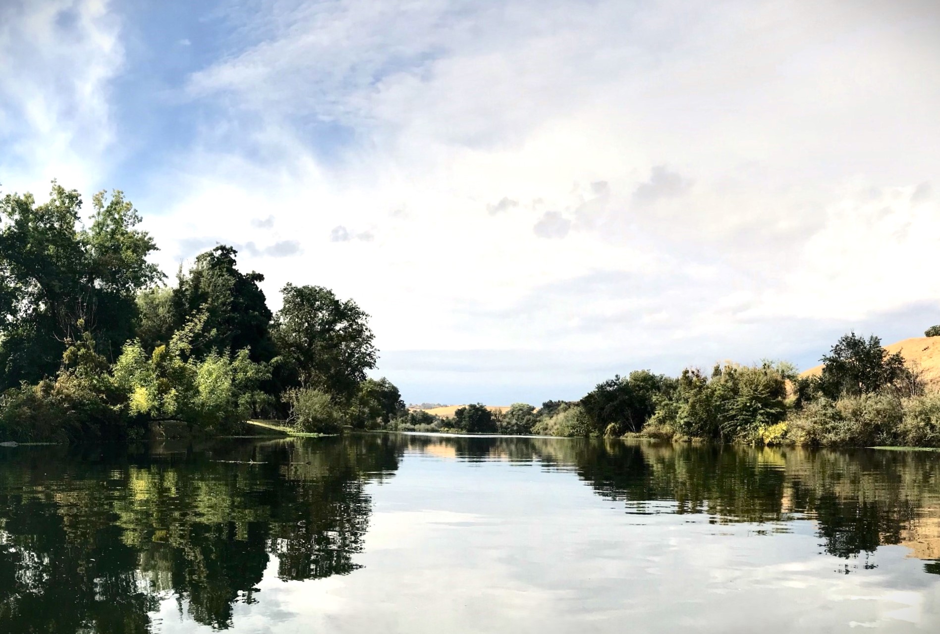
The Program began Interim Flow releases from Friant Dam into the San Joaquin River on October 1, 2009 (click here to view images of Interim Flows). Restoration Flows began on January 1, 2014, but were curtailed in 2014 and 2015 due to drought conditions. The San Joaquin River was reconnected from Friant Dam to the Merced River confluence in August 2016 and has remained in that state for most years. For a further explanation of why there may be periods of disconnect, please visit the Tracking the River’s End page on this website.
For more information on current the current flow schedule, monitoring actions, seepage, or levee stability, please click on the appropriate topic below.