Last updated on 10/28/2025
Tracking the River’s End
Historically, the San Joaquin River has experienced hydrologically dry and wet periods. In more recent history, sections of the river were completely dry due to water diversions. Beginning in 2009, Interim Flows began on the river as a result of the San Joaquin River Restoration Program and the river was periodically fully re-connected. In 2014, the Program transitioned to Restoration Flows -- flows allocated specifically for in-stream use -- the volume of which is based on six water-year types ranging from "wet" to "critical low".
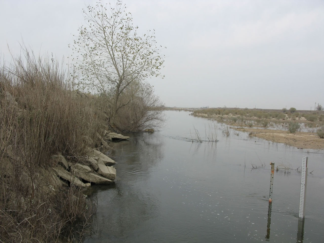
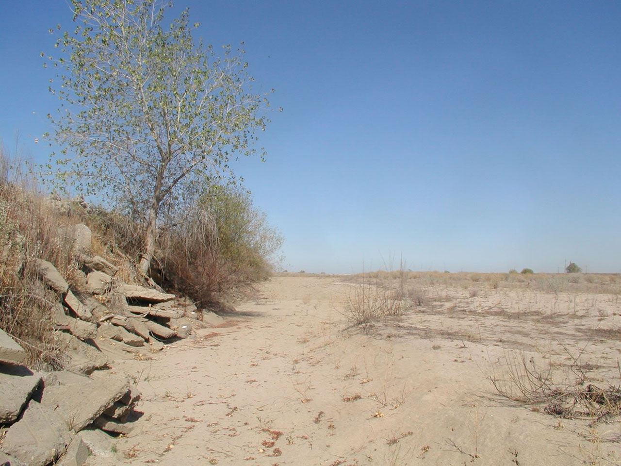
Currently, the San Joaquin River Restoration Area typically has a fully connected river, meaning, it has flowing water from Friant Dam to the confluence with the Merced River using a combined pathway of historic river channel and floodways. However, there are still certain conditions and circumstances where the river becomes disconnected. In the driest of years, little to no water is allocated to the Program for Restoration Flows. In other years, efforts may be undertaken to conserve available Restoration Flows in order to benefit the spring-run Chinook salmon lifecycle. You can read a more in-depth look of why the river was disconnected in 2025 here.
Below is a video of the river reconnecting in 2022.
The following maps show the locations of the river when Interim Flows were first implemented in 2009 followed by Restoration Flows in 2016.
Movie of the San Joaquin River on April 12, 2016:
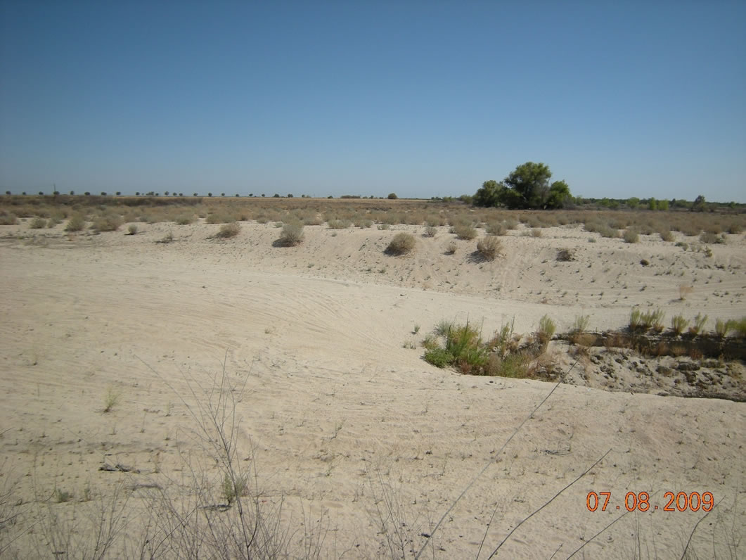
Fall 2009

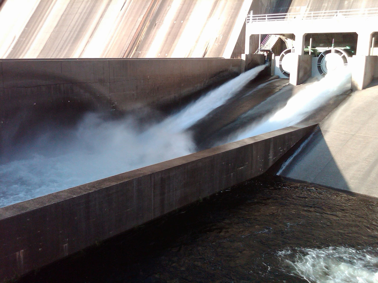
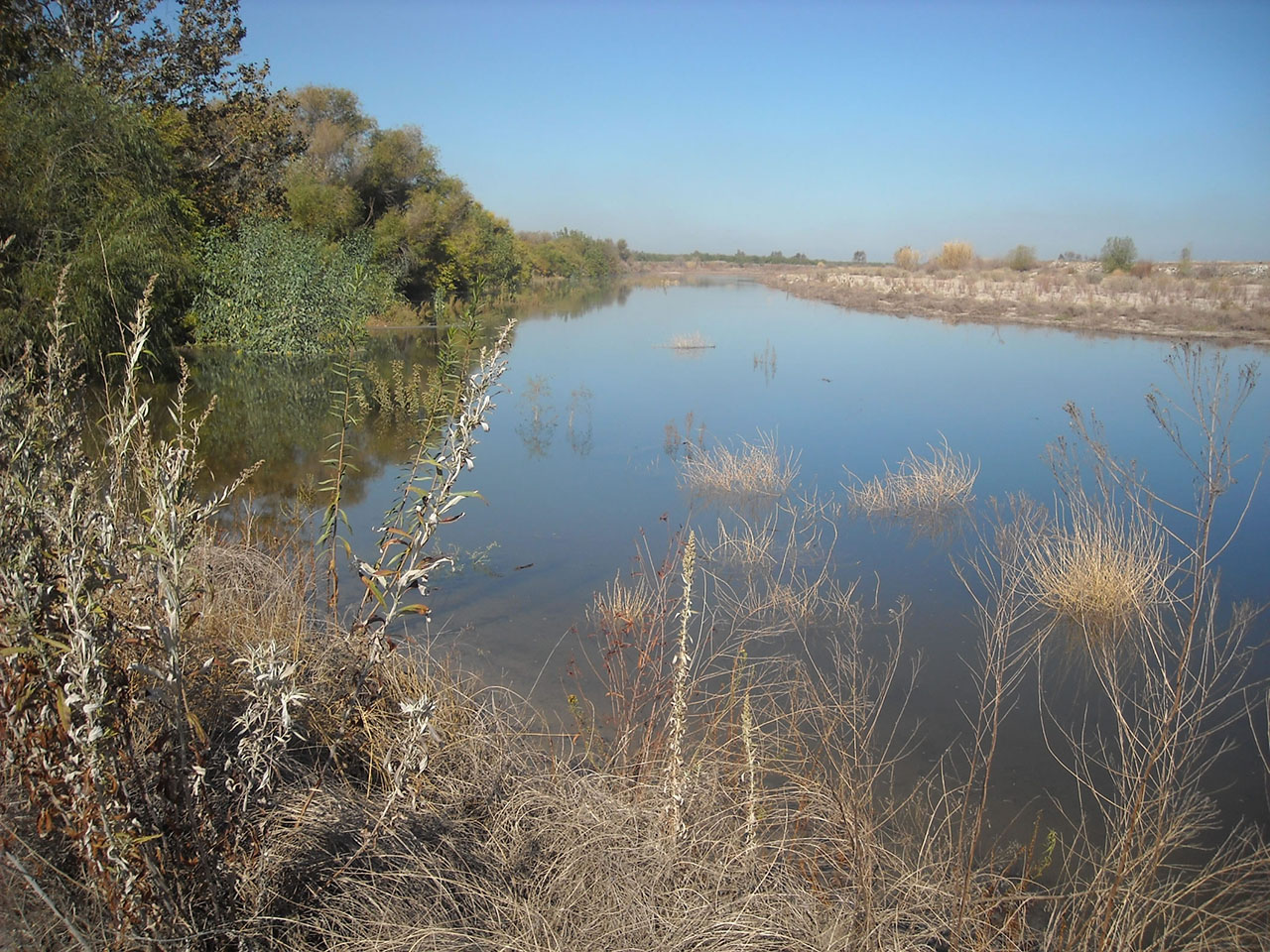
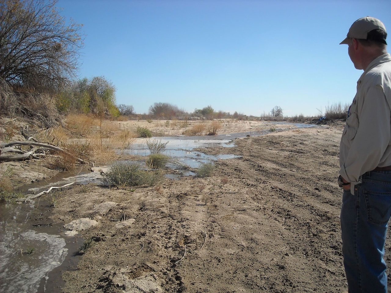
First Interim Flow releases from Friant Dam October 1, 2009 SJR Reach 2 with Interim Flows, October 15, 2009 Reclamation Hydrologist Stephen Lee tracks the River’s end , October 15, 2009 SJR in Reach 2 looking north after Interim Flows, November 11, 2009 
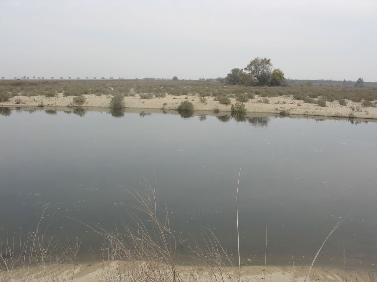
SJR in Reach 2 looking north prior to Interim Flows, July 2009 San Joaquin River in Reach 2 after Interim Flows, November 11, 2009 San Joaquin River in Reach 2 July 2009