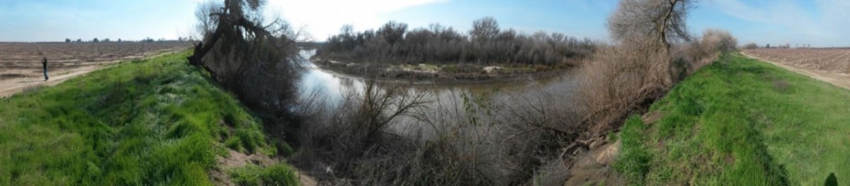
The SJRRP collects a wide range of physical and biological data on the San Joaquin River. Follow the links below for study plans, reports, raw data, and other scientific information collected by the Program.
 Study Plans
The SJRRP funds many scientific studies and data collection efforts as part of the Monitoring and Analysis Plan (MAP). Study plans describe upcoming monitoring and analysis efforts.
 Reports
Find summary reports and data analysis from studies funded by the SJRRP, including studies on conveyance, sediment transport, spawning, and fisheries reintroduction.
 Data Download
Find raw data for direct download from various studies including flow, stage, groundwater data, and DTMs.
 Science Meeting
The SJRRP Science Meeting connects those conducting scientific research and monitoring to support the SJRRP, and informs SJRRP management and the public of scientific results. Abstracts are available for download.
 Subsidence Monitoring
Find survey results, tables, and maps for over 70 control access points that Reclamation assesses biannually in the San Joaquin Valley to track for subsidence.
 Habitat
Find data for current and past studies related to habitat conditions for fisheries in order to monitor possible needs and restrictions.